 The International Map Industry Association (IMIA) hosted its Mapping Leaders Forum in London on May 14 -15, 2025. Chaired by Vivien Godfrey, CEO of the Edward Stanford Group and President of IMIA, the forum welcomed a diverse group of mapping professionals, geospatial innovators, publishers, and technologists to discuss the business of mapping in an increasingly digital, data-driven world.
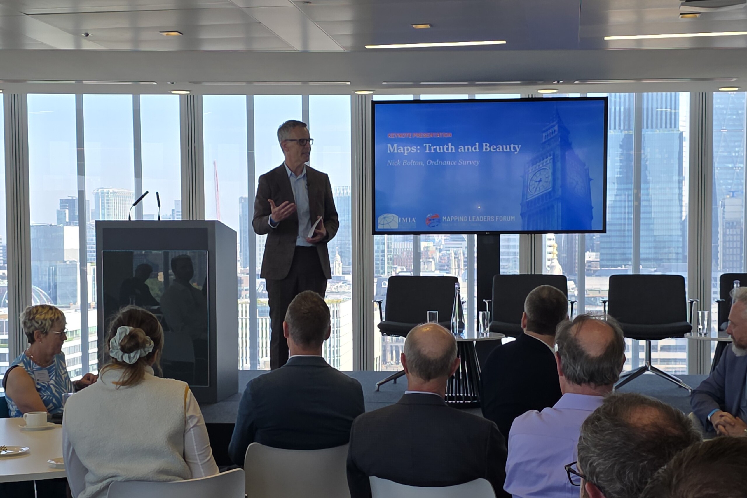
The Forum began each day with a keynote speech that reflected both technological and historical perspectives on cartography.
Nick Bolton, CEO of Ordnance Survey, opened with a presentation titled “Maps: Truth & Beauty.” Bolton emphasized that while maps may be evolving into complex digital tools, they still carry emotional resonance and a unique capacity to capture space and meaning. He examined the philosophical foundations of mapping, from Borges’ allegorical maps to Baudrillard’s simulacra, and advocated for maintaining public trust through authoritative national geospatial platforms.
Alex Beecroft, Managing Director of Collins, opened the second day with an insightful keynote on the history and evolution of the Collins Bartholomew cartographic business. Beecroft traced the legacy of Bartholomew maps — from the company’s 19th-century roots to its modern role as a leading UK map publisher under the HarperCollins banner. He spoke about the ongoing relevance of physical maps, especially in education, and emphasized how Collins is balancing tradition with innovation in digital distribution and branded cartographic content.
 Thematic Sessions and Industry Insights
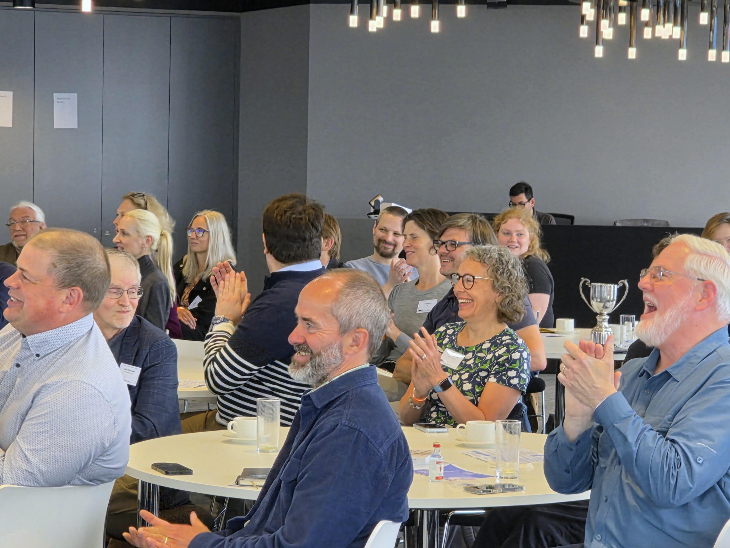
The two-day event contained valuable networking opportunities and presentations from a dozen speakers providing a variety of insight into their business and the world of maps.
Maps of all varieties Ivy Adamakopoulou of Anavasi presented “The Collaborative Path,” showing how local teams in Greece document and maintain hiking trails through community mapping.
Laura Gerrish from the British Antarctic Survey (BAS) shared how she uses many resources, including drones and satellite data, to map changing Antarctic environments.
Jana seta Ltd’s Jānis Barbans of shared his experiences using national geospatial data in commercial products.
Ian Wright, of Brilliant Maps, presented 10 maps that each illustrated a different genre or topic. His presentation drew the most laughs from the audience.
Evolution of the industry
Adam King of HARVEY Maps chronicled the company’s journey to becoming a trusted brand for outdoor mapping. The employee-owned company continues to field-check its maps for clarity and waterproofing. Dave Jay of National Geographic Maps presented a corporate case study titled “Navigating Change and Challenging Times,” detailing the company’s restructuring under Disney. Despite cost-cutting, the company remains the category leader in North America.
 Carl Rauch and Hannes Mittergeber from freytag & berndt jointly presented their company journey from CAD to GIS. The talk included information about market evolution and technology evolution.
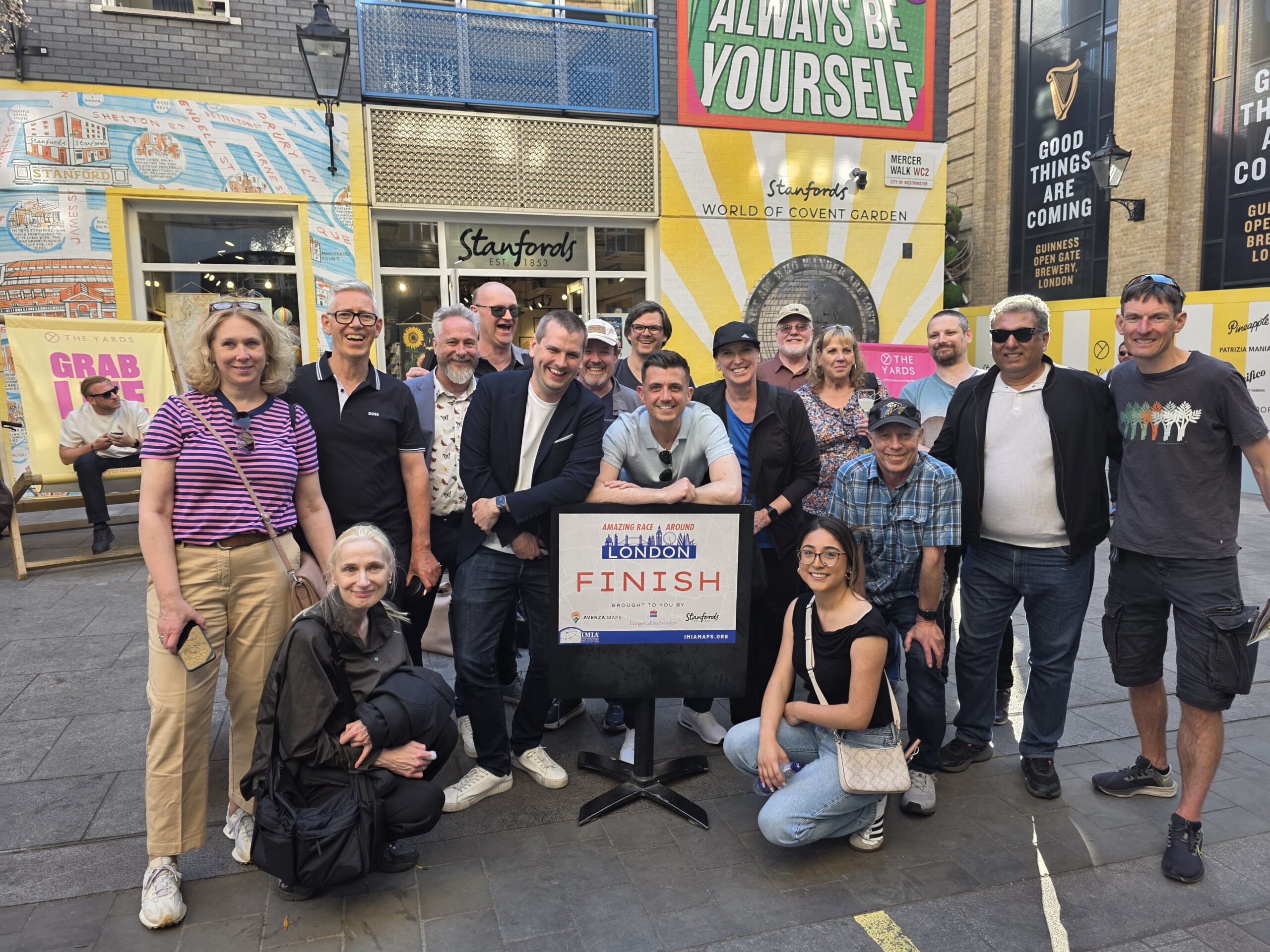
Tristan Lyttle of Avenza Maps discussed new basemap subscription models. His talk featured the “Race Around London,” where attendees used Avenza’s GPS-enabled app and a Collins Pocket Map.
MapSherpa’s Dave McIlhagga examined how personalized maps tap into the emotional value of place and the enthusiasm among younger consumers for personalized products.
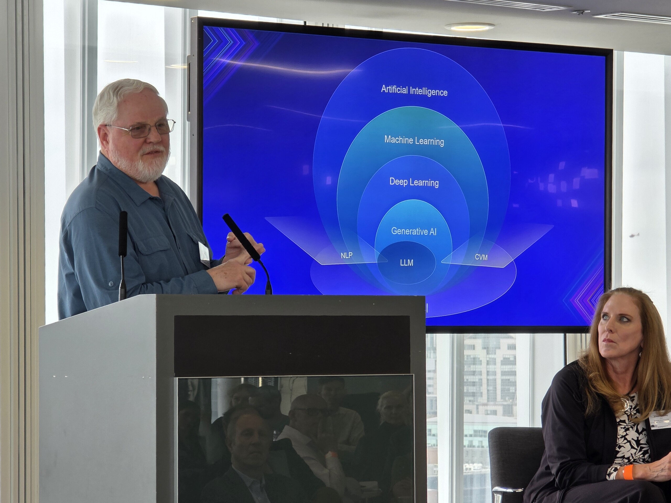
An AI-Enhanced Industry Esri’s Aileen Buckley and Mark Cygan presented “From Data to Design,” focusing on the use of AI assistants in ArcGIS to streamline map creation. While celebrating the power of generative AI, they stressed the need for human oversight, emphasizing that a cartographer’s expertise remains irreplaceable.
Mani Singh of NextByte Technologies explained how AI can help mapping businesses personalize the user journey and improve conversion rates. This is relevant to every organization involved in the business of mapping.
Empowering the Next Generation, Valeria Tenorio-Monterrosas shared her journey from student to Marketing Manager at Esri. Speaking for the Esri Young Professionals Network, she illustrated how mentorship and early exposure to spatial technology can change lives.
IMIA Awards celebrate the industry
A much-enjoyed feature of the forum was the Amazing Race Around London, where teams used the Collins Pocket Map and a specially-designed map app from Avenza Maps to navigate through the city. The winning team — Jethro Lennox (HarperCollins) and Valeria Tenorio-Monterrosas (Esri) — embodied the collaborative spirit of the event.
 The Award for Best Map was presented to the British Antarctic Survey for their new Basemap 3 map of Antarctica. Laura Gerrish accepted the award on behalf of BAS.
The Clark Swinehart Award was presented to Bennett Moe for his outstanding contributions to the mapping industry. Moe joined the forum via Zoom, expecting to speak to the group about the history of IMIA, but instead was presented with this award.
In conclusion
IMIA gratefully acknowledges the support of many generous sponsors, including the Royal Premier Sponsor and host HarperCollins. The additional sponsors who made this event possible include: Avenza Maps, Cordee, Dennis Maps, Edward Stanford Group, Esri, National Geographic Maps, and UniMaps/United Press.
The IMIA Mapping Leaders Forum 2025 was a celebration of innovation, heritage, mentorship, and forward momentum in the mapping industry. The next Mapping Leaders Forum will take place in May 2026 in Toronto.