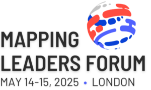
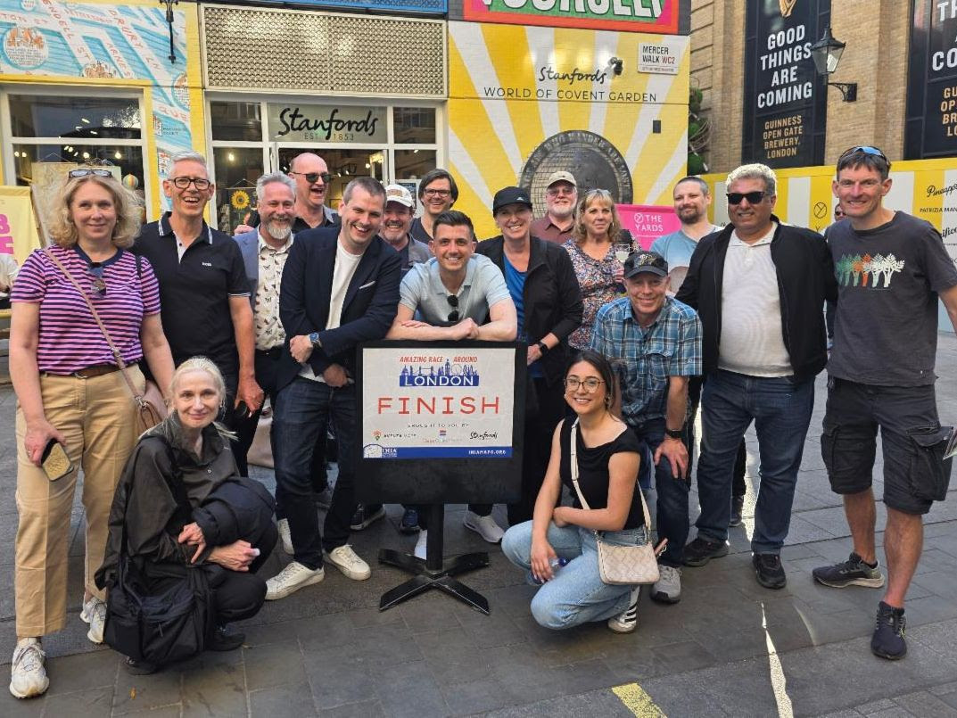
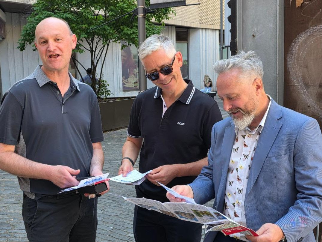
2025 Forum provides insight, connections and forward thinking
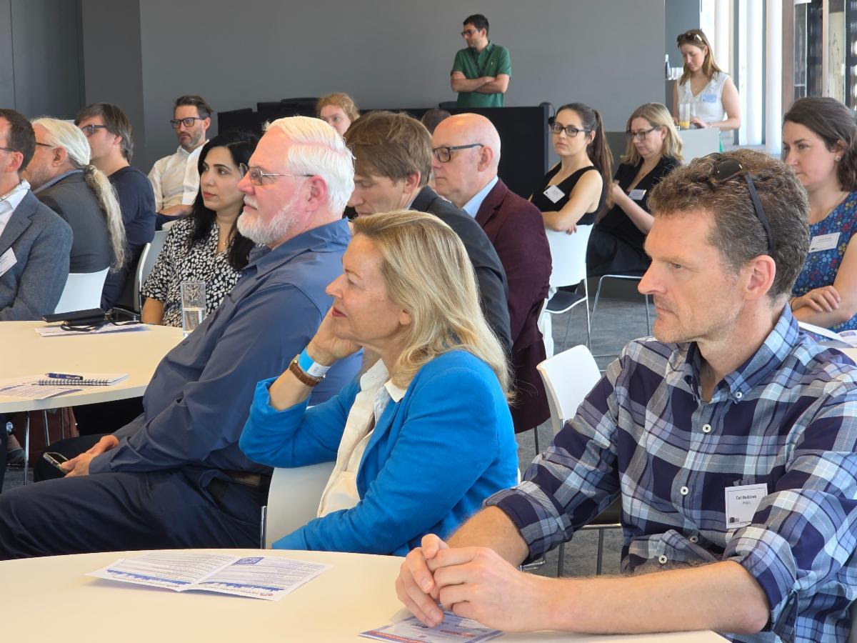
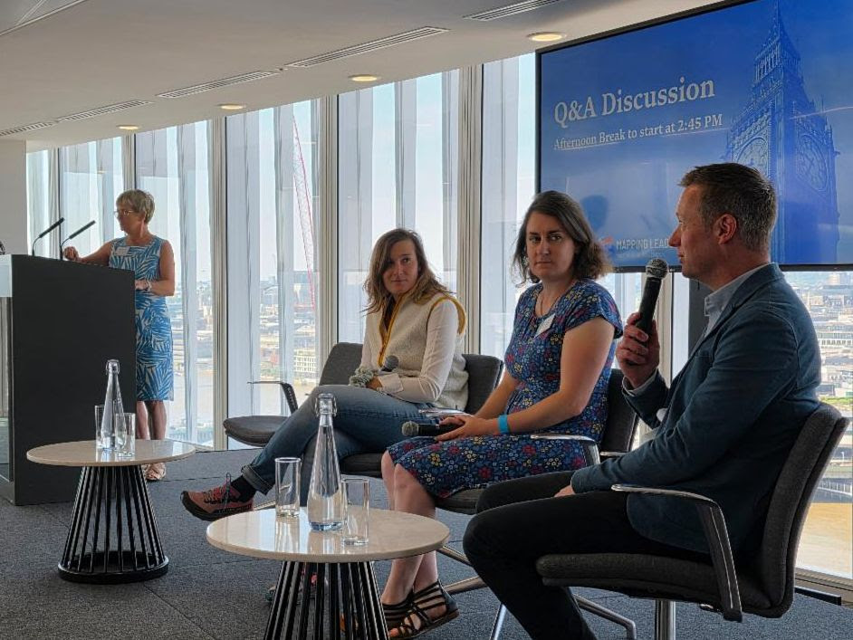
The International Map Industry Association (IMIA) hosted its Mapping Leaders Forum in London on May 14 -15, 2025. Chaired by Vivien Godfrey, CEO of the Edward Stanford Group and President of IMIA, the forum welcomed a diverse group of mapping professionals, geospatial innovators, publishers, and technologists to discuss the business of mapping in an increasingly digital, data-driven world.
The Forum began each day with a keynote speech that reflected both technological and historical perspectives on cartography.
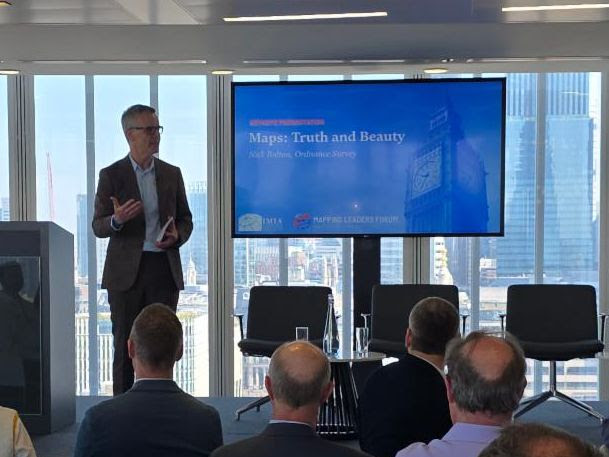
Nick Bolton, CEO of Ordnance Survey, opened with a presentation titled “Maps: Truth & Beauty.” Bolton emphasized that while maps may be evolving into complex digital tools, they still carry emotional resonance and a unique capacity to capture space and meaning. He examined the philosophical foundations of mapping, from Borges’ allegorical maps to Baudrillard’s simulacra, and advocated for maintaining public trust through authoritative national geospatial platforms.
Alex Beecroft, Managing Director of Collins, opened the second day with an insightful keynote on the history and evolution of the Collins Bartholomew cartographic business. Beecroft traced the legacy of Bartholomew maps — from the company’s 19th-century roots to its modern role as a leading UK map publisher under the HarperCollins banner. He spoke about the ongoing relevance of physical maps, especially in education, and emphasized how Collins is balancing tradition with innovation in digital distribution and branded cartographic content.
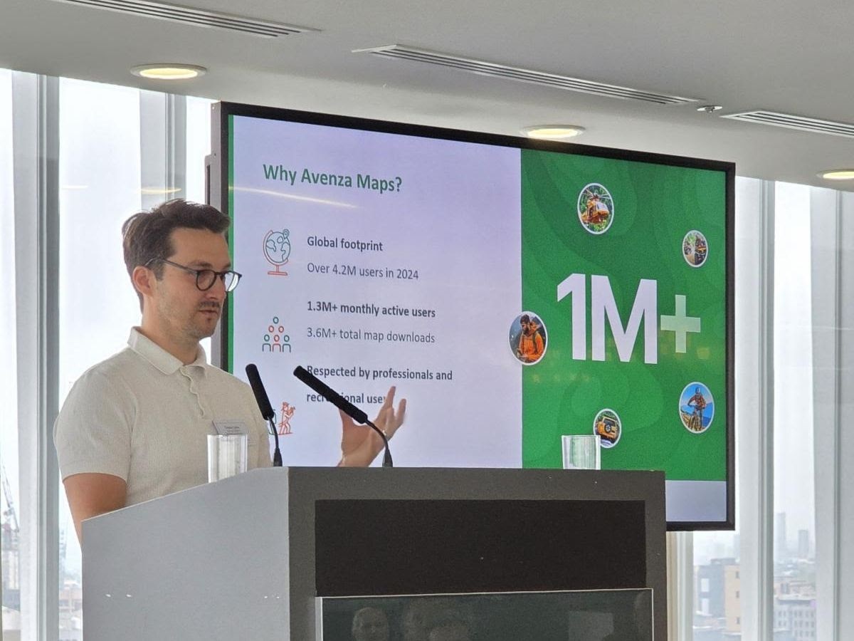
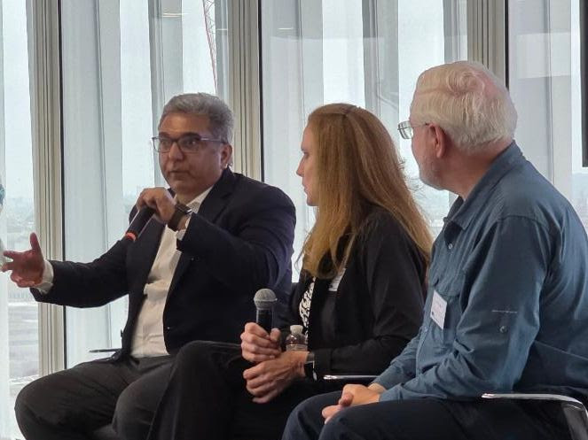
Thematic Sessions and Industry Insights
The two-day event contained valuable networking opportunities and presentations from a dozen speakers providing a variety of insight into their business and the world of maps.
|
|
If you attended the forum, we would love to get your opinion on the event by filling out our short survey. Thank you to those attendees who already provided their feedback.
Welcome New Members
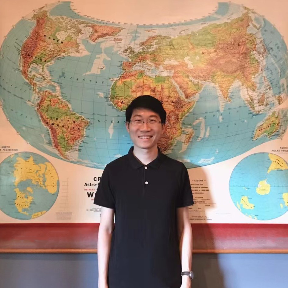
Atlas Guo (CartoGuophy) is a Ph.D. candidate in Cartography and GIS at the University of Wisconsin-Madison, affiliated with the Spatial Computing and Data Mining Lab and the UW Cartography Lab. His research focuses on GeoAI-powered spatiotemporal analytics and cartographic visualization for natural disaster management.
As a “map evangelist,” Atlas is an active contributor to the mapping communities, earning over 50 relevant achievements, including awards from CaGIS, NACIS, Esri, BCS, and WLIA. His innovative maps have also been featured in publications such as the Atlas of Design, Esri Map Book, and Cartographic Perspectives.
|
|
Pindar Creative is a leading specialist in creating bespoke mapping and travel information solutions designed to promote active and sustainable travel. Our award-winning custom maps are tailored for a variety of locations, from mobility hubs, park-and-ride sites, and local transport interchanges to wider regional networks for local authorities and transport bodies.
We offer a full spectrum of products, including:
- Printed maps & leaflets – Ideal for walking, cycling, and public transport information.
- Interactive mapping websites – Engaging, user-friendly platforms that provide valuable location-based insights.
- Fully accessible PDFs – Designed to meet 2018 Accessibility Guidelines, ensuring inclusivity.

|
|

TGO Maps Ltd is led by Tim Goodfellow, a freelance cartographer with over 30 years’ experience in cartography. We have been involved in creating and managing highly detailed mapping datasets for AZ Maps and have produced a large variety of printed books and maps for clients. We always aim to achieve a high level of customer satisfaction with the cartographic services and products that can be offered.
TGO Maps was established over the last 5 years, producing a large variety of maps for great customers, large and small. To find out more about what we can do for you, please click the link below.
Member News
British Cartographic Society Annual Awards
The British Cartographic Society (BCS) presents a series of awards for excellence in cartography that are open to everyone. Entries are encouraged from those engaged in all aspects of mapping – practical, theoretical, commercial, and academic – using traditional or innovative techniques and research.
The awards include:
- Peter Jolly Award — Best Map / Data Visualisation
- Stanfords Award — Best entry for Printed Mapping
- Avenza Award — Best entry for Electronic Mappin
- The Collins Bartholomew Award for Thematic Mapping & Infographics — Best entry for Thematic Mapping & Infographics
- Ordnance Survey Student Award — Qualifying entries can be from individuals doing full or part-time education courses/studies.
- The Garsdale Design Award — The annual 3D Cartography Award, sponsored by GD3D®, the 3D geospatial brand from Garsdale Design
- The Ian Mumford Award — For university and college students
The awards are presented at our Annual Conference on September 3-4, 2025. If you have any queries, contact BCS Awards Officer Jim Goldsmith.

|
|
Stanford’s Map of the Month
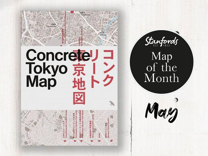
Concrete Tokyo
Blue Crow Media Map
Edited by Naomi Pollock, with photography by Jimmy Cohrssen, the bilingual (Japanese and English) map serves as an expertly curated guide to Tokyo’s unique concrete architecture.
This map highlights the most unique and influential examples of concrete buildings and structures across the city. Architects featured include Tadao Ando, Le Corbusier, Toyo Ito, Kenzo Tange, Kunio Maekawa, Antonin Raymond, and many others.
|
|
Call for ICA/IMIA Award Judges during Esri UC
The Esri International Cartographic Association (ICA)/International Map Industry Association (IMIA) Award promotes and recognizes excellence in map design and advancement in cartography.
IMIA is looking for its two judges to select two entries from the registered submissions in the Map Gallery that best exhibit excellence in all aspects of cartographic design and production. The submissions are judged during the Esri User Conference in San Diego, July 14-18.
If you are interested in participating as a judge, please contact Donna De Marco at [email protected] by Friday, June 6, 2025.
Upcoming IMIA Participating Events
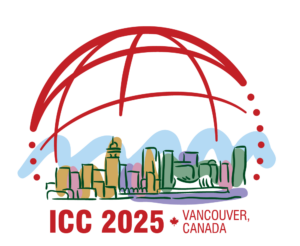
32nd International Cartographic Conference
August 16-22, 2025 | Vancouver, Canada
IMIA will join affiliate partners BCS, CaGIS and ICA for a panel discussion during the event. IMIA is also planning extra activities for our members. More details to come soon.

Frankfurt Book Fair 2025
October 15-19, 2025 | Frankfurt, Germany
Visit the IMIA collective booth with IMIA members Craenen, Räthgloben, Stellanova, Dennis Maps and Esri.
Upcoming Industry Events


Membership Information

We want to share your news! Send us your milestones, anniversaries, company announcements, upcoming events, or other news and we can help spread the word for you.

Disclaimer: IMIA does not sell, rent, or lease our contact data or lists to third parties, and we will not provide your personal information to any third party individual, company, or government agency at any time unless compelled to do so by law. Any emails or other notifications received stating otherwise are spam.
IMIA Annual Sponsors
![]()