IMIA Annual Meeting 2020 – A New Path Forward
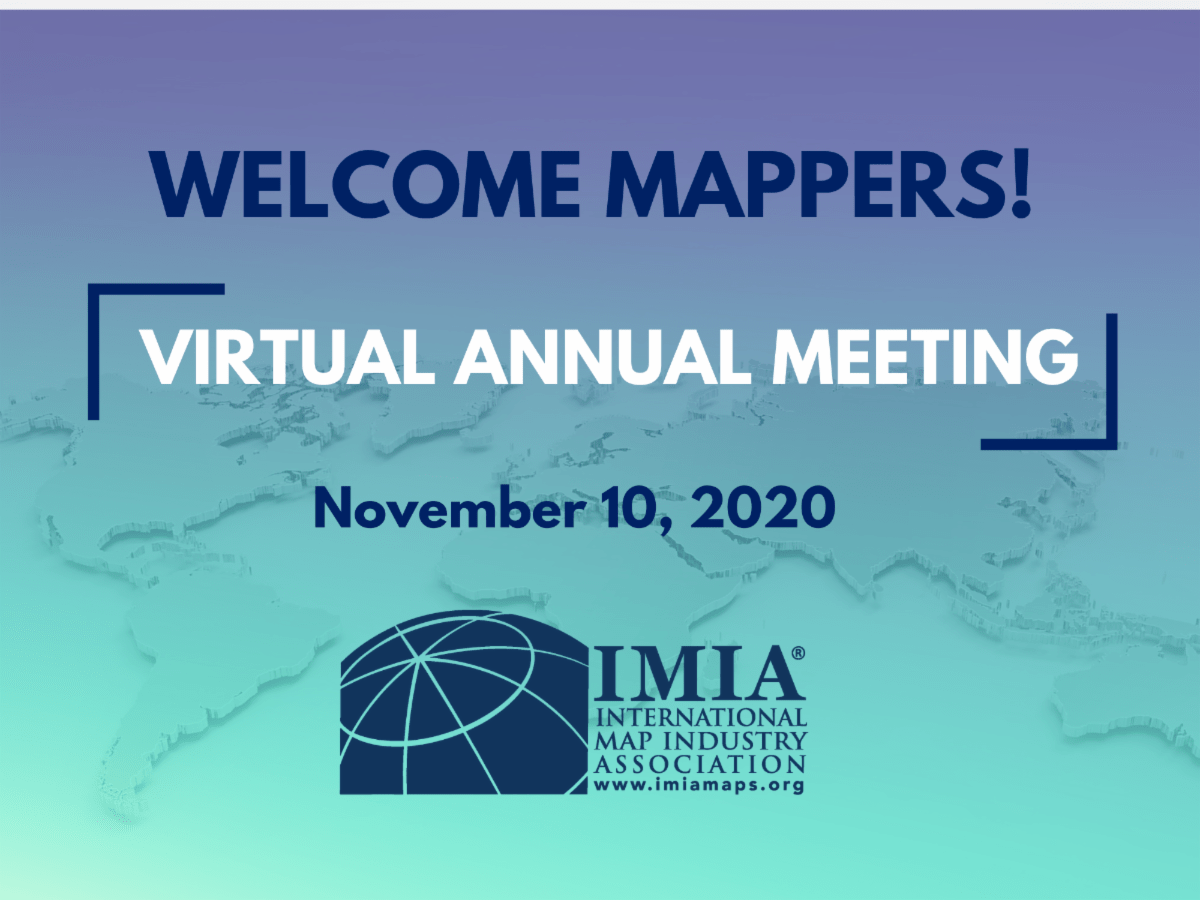 On November 10, 2020, IMIA held its first-ever Virtual Annual Meeting. President Dave McIlhagga kicked off the meeting with a summary of IMIA’s 2020 events and milestones, from January’s forum in Washington, D.C. and the reception at Stanford’s in London in March to the launch of our new website in September. Pivoting after the pandemic, IMIA shifted the Mapping Leaders Forum to a virtual event.
“I think we can all be very proud of the three quality virtual events we were able to put on this fall for our members to help keep us all connected at a time when we needed it most,” said McIlhagga. The recordings from the Virtual Mapping Leaders Forum are available here.
The final order of business for the Annual Meeting was to present a new organizational structure for approval by the membership.
An IMIA Perspective By Bennett Moe (Past President)
Before the business agenda of the Annual Meeting, attendees heard from keynote speaker Bennett Moe of Headwall Media, LLC, immediate past president of IMIA’s Americas group. Moe shared a few thoughts on IMIA’s past achievements and how it is evolving with a rapidly changing industry.

I was chatting recently with a colleague about the changes in the mapping world over the last 30 years, a career path aligned to the evolution of the IMIA. There have been a number of inflection points along the way, with survivors and casualties at each turn. I like to think that the IMIA and I are both survivors.
When I started at a small mapping startup as an intern, right about the same time that the International Map Trade Association (IMTA), as it was then known, was getting off the ground, I was a graphic design student and learned traditional cartography methods and practices on the job — scribing, typesetting and platemaking were among the skills that cartographers needed to have back then.
The first big market shift happened when computers were first adopted in the early 90’s and began to replace film-based production. It wasn’t without bumps. I recall one particular interaction we had with Peter Muller, who with Harm deBlij were probably the most well known authors of geography textbooks at the time. The DeBlij Muller World Regional Geography textbook was one of the first that was produced entirely with digital cartography.
AND International Publishers is now GeoJunxion

In October 2020, AND International Publishers N.V. announced a brand new name —GeoJunxion — to underline a new focus for the company. AND is an innovative location-aware content and service provider.
Building on decades of global mapmaking, GeoJunxion will focus their expertise on creating premium content and services under the new brand name. Examples include their highly-curated daily Eco Alert Zones, launched recently along with several other location-intelligent services. They have also started researching, collecting and curating a new dataset, a European ferries database for a global technology company which will provide a customer experience when navigating across Europe.
Thierry Jaccoud, CEO at AND explained: “Our agile approach enables us to react quickly, bringing new and relevant ideas – such as the Health Alert Zones – to our customers in double quick time. Introducing the GeoJunxion brand highlights the turnaround and recent success generating new and sustainable revenue; and underlines our commitment to high quality location-aware content ready for tomorrow’s 5G and IoT world.”
Visit their new website at www.GeoJunxion.com.
New Member: John S. Allen
IMIA welcomes our newest member, John S. Allen, CW5 USA (RET). Now retired, Allen was a thirty-four year veteran of the US Army where he worked as a Geospatial Engineer.
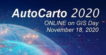
AutoCarto 2020 is November 18!
 CaGIS is proud to present AutoCarto 2020, the 23rd International Research Symposium at the intersection of cartography and GIScience.
AutoCarto 2020 is being offered virtually in an open access format that is online and free to all.
The program consists of 40 papers by 121 authors from 14 counties, 7 workshops by 16 organizers from 6 countries, and 4 visionary keynotes from international, government, industry, and academic perspectives.
All of this great content goes live on GIS Day — Wednesday, November 18, 2020 — so be sure to visit the AutoCarto website.
Industry News

Mapping Digital Inequities in Online Schooling
Two of the country’s largest school districts, one in Pennsylvania and one in Florida, examined the digital divide to provide resources to low-income students when they were forced to study from home.

Maps undergo major reshuffle – ScienceBlog.com
The Open Geospatial Consortium (OGC) has adopted a new international standard, opening the way to a common format for cartographic description. The geographer Erwan Bocher and his colleague Olivier Ertz, who are behind this evolution, walk us…