
Save 30% on Collins Maps & Atlases
HarperCollins Publishers has a strong tradition of publishing cartographic products that stretches back over 100 years with Bartholomew Maps and Collins educational atlases.
Today, the main cartographic output is as diverse as ever and includes a wide variety of printed maps and atlases covering the UK, Europe, and the world.
Our newest publishing includes:
Europe
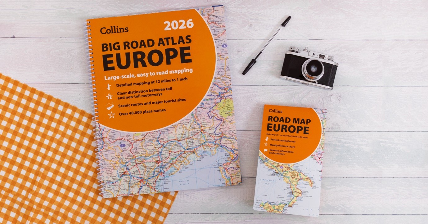
New Collins road maps and atlases of Europe are reliable, up-to-date, and include trusted mapping for journey planning and travel.
- Collins 2026 Big Road Atlas Europe – This super-clear, detailed road mapping covers all the top European tourist destinations in a large, easy-to-read A3 format.
- Collins Rail Map of Europe – With a durable card cover, clear mapping, and essential travel information and inspiration, there’s no better way to plan your flight-free journey around Europe.
- Road Map of France – A fully revised and updated color road map of France showing the road network in detail for easy route planning.
- Road Map of Europe – Roads, motorways, European Route numbers, railways, airports, cities, and towns are clearly shown in this fully revised and updated color road map of Europe.
See all Europe Road Maps & Atlases >
Scotland
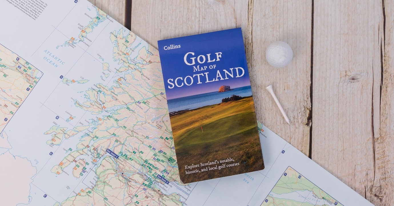
Our bestselling range of Scotland maps and atlases features places of interest across a variety of topics, from whisky distilleries and the iconic NC500 route to historic clan boundaries and golf courses.
- Handy Road Atlas Scotland – A new edition with clear, attractive route planning maps of the whole of Scotland, supported by comprehensive, fully indexed city centre street maps.
- Golf Map of Scotland – this full-color pictorial map includes the locations of over 500 golf courses across Scotland, as well as visitor information and images of Scotland’s most iconic courses.
- Whisky Map of Scotland – All of Scotland’s operational whisky distilleries and whisky-related places of interest are located on one map.
See all Scotland Maps & Atlases >
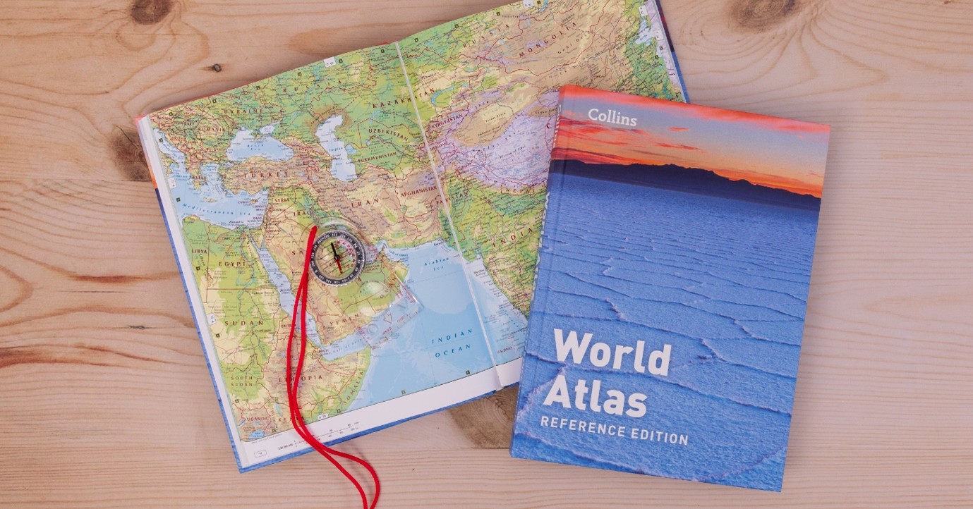
World Atlases
Up-to-date mapping and key statistics are included in all four new editions of the Collins World Atlases. From the encompassing Complete Atlas to the value Paperback Atlas, there’s a format to suit all needs.
Collins Bartholomew digital data
In addition to our printed publications, our digital cartographic data continues to be used by a wide variety of organizations and companies.
- Vector and raster map data products of the World, Europe, and the UK.
- World and UK place name gazetteers that provide a database of named locations.
- Newsroom is a document service providing country information about cultural and geopolitical geography.
Save! Use promo code COLLINSATLASES30 at checkout to receive a 30% discount on Collins Maps & Atlases. Offer valid until 31st December 2025.