Industry Leaders Discuss the Future of Map Production
![]()
In an age dominated by smartphones, GPS, and real-time navigation apps, it’s easy to assume printed maps have become obsolete. However, a recent Points of Interest panel reinforced a different reality: printed maps not only remain relevant but continue to outperform digital products in many sales channels. Industry leaders discussed trends, supply chain challenges, sustainability, and the enduring role of print—highlighting that printed maps are evolving rather than fading.

The panel, moderated by Bridger DeVille (East View Map Link, IMIA Past-President), featured Artur Broks (UniMaps), Steve Burry (Dennis Maps), and Tracy Groholski (Frederic Printing, RR Donnelley).
The discussion centered on three themes: why printed maps still matter, lessons from the pandemic era, and what is driving the industry forward.
|
|
In Case You Missed It…
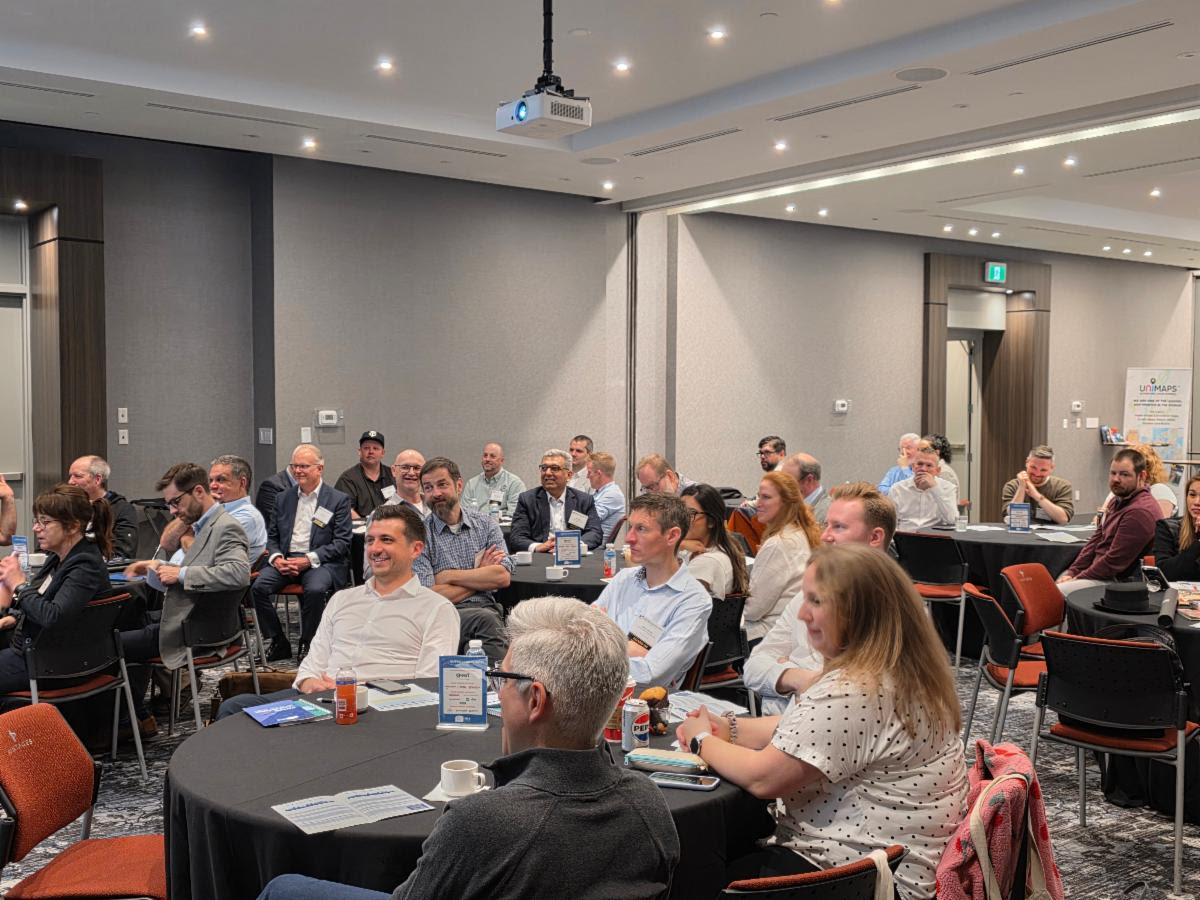
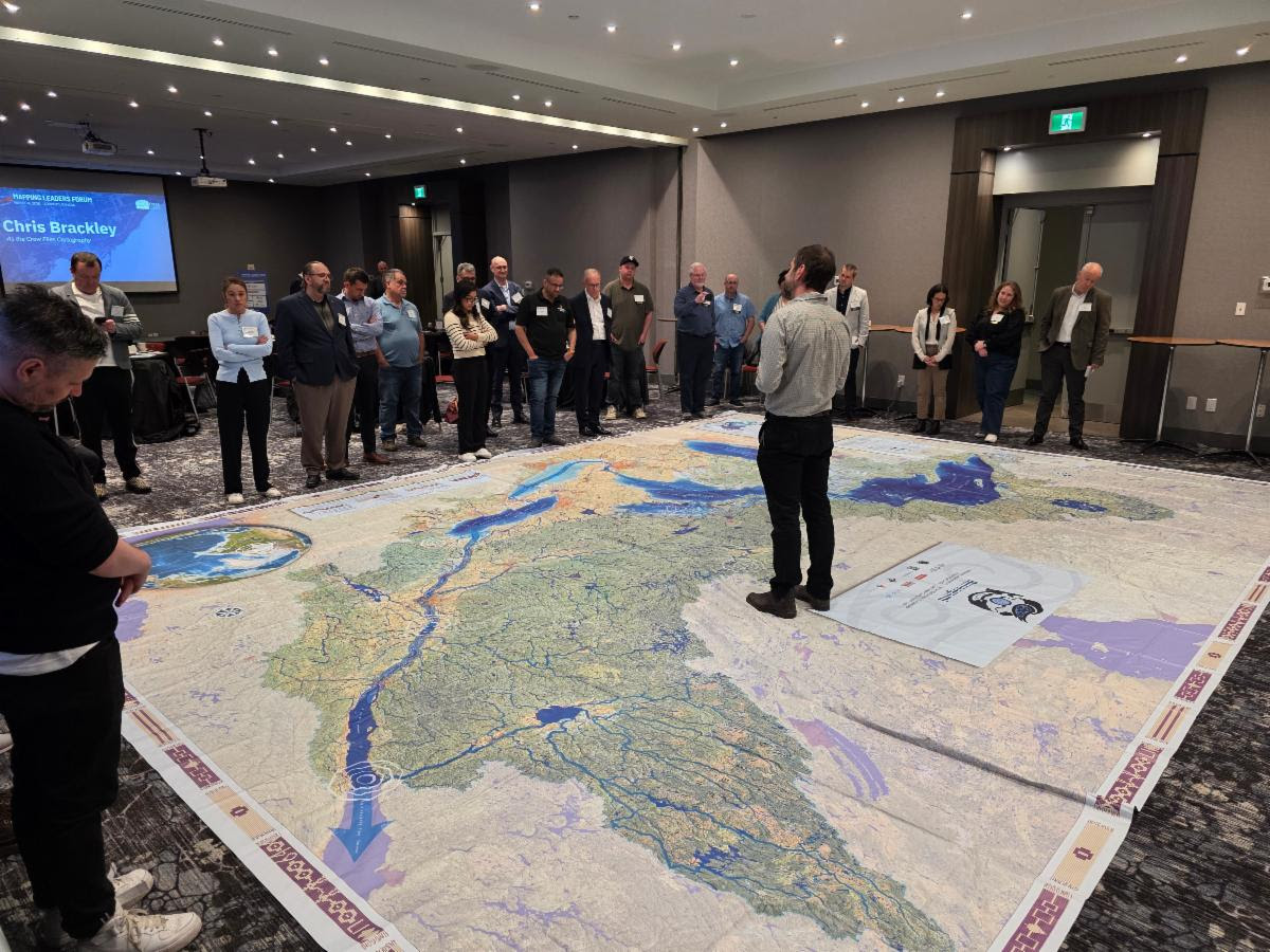
Mapping Leaders Forum
May 2026 | Toronto, Canada
The Mapping Leaders Forum welcomed map industry professionals from around the globe to Toronto, Canada, for a packed agenda focused on leadership, innovation, and the future of our industry.
Day 1, May 13, featured an inspiring keynote, technology presentations, rapid networking rounds, World Tour Trivia, and a thought-provoking Amazon panel discussion. Attendees wrapped up the day at a lively cocktail reception filled with conversation and new connections.
Day 2, May 14, continued the momentum with sessions covering mergers and acquisitions, climate and environmental issues, industry presentations, and engaging Q&A discussions. Additional networking opportunities helped attendees exchange ideas and build relationships that will continue long after the Forum concluded.
The event closed with a reception celebrating the connections made, insights gained, and opportunities ahead. Thank you to everyone who joined us and helped make this year’s Mapping Leaders Forum such a success.

May 12
Amazing Race Around Toronto
May 13
Forum Day 1
May 14
Forum Day 2
Sponsor News
The World is Within Reach
National Geographic Museum of Exploration Debuts the Jack and Laura Dangermond | Esri Geoverse

The National Geographic Society announced the debut of the Jack and Laura Dangermond | Esri Geoverse experience at the National Geographic Museum of Exploration, opening June 26, 2026.
In this cutting-edge theater, visitors of all ages can explore diverse landscapes and learn about the fieldwork of National Geographic Explorers through a series of rotating shows. The Geoverse is a capstone of the National Geographic Learning Launchpad, powered by Cengage — a dedicated space designed to immerse school groups in the study of geography.
Welcome New Members

Four Corners Mapping is a woman-owned cartography and GIS consulting firm specializing in custom and artistic print maps, interactive web mapping applications, ArcGIS StoryMaps, and geologic and recreational trail maps.
Founded by Anna Riling, an award-winning cartographer, seasoned GIS professional, and licensed Professional Geologist, the firm combines technical expertise with thoughtful design and visual storytelling, creating maps that provide context, invite inquiry, and distill the unique story of a place.
Four Corners Mapping serves a diverse range of clients, producing cartographic products that help communicate complex information, support conservation efforts, and connect people to places. Based in Durango, Colorado, the firm is inspired by the landscapes of the American West and a belief in the power of maps to advocate for meaningful causes and tell compelling stories. Learn more about Four Corners Mapping.
Connect with Four Corners Mapping here >
|
|
![]()
Teledyne Maritime is a one global maritime team, bringing together industry‑leading brands; Raymarine, FLIR Marine, Raymarine Commercial, Teledyne SevenCs, FLIR TransponderTech, and Teledyne CARIS, to serve customers across commercial, defence, government, and recreational maritime markets.
Together, we design, build, and support advanced sensors, navigation systems, software, and services that help people operate more safely, efficiently, and confidently at sea, from bridge to bow, seabed to satellite. Learn more about Teledyne Maritime.
Connect with Teledyne Maritime here >
|
|
VanDam is the NYC–based designer and publisher of award-winning and best-selling maps and atlases to global destinations.
Inspired by the motto “to make complex cities clear” VanDam publishes city and country maps under the StreetSmart®, Unfolds Pop-ups® and @tlas brands.
The company holds several patents in the field of paper engineering and origami map folding. Twenty-six of its maps are in the permanent Design Collection of the Museum of Modern Art (MoMA). In addition to its own brands VanDam designs and produces custom mapping applications and wayfinding programs for clients worldwide. Learn more about VanDam.
|
|
Member News
Stanfords Map of the Month
Both featured maps include IMIA members!

MAY
Publisher: HarperCollins
Collins Rail Map of Japan
With a durable card-cover, clear mapping and essential travel information and inspiration, there’s no better way to plan your journey around Japan.
Showing all the essential railways across the country, differentiating between Shinkansen and normal lines for ease of use, this two-sided map provides full coverage of Japan.
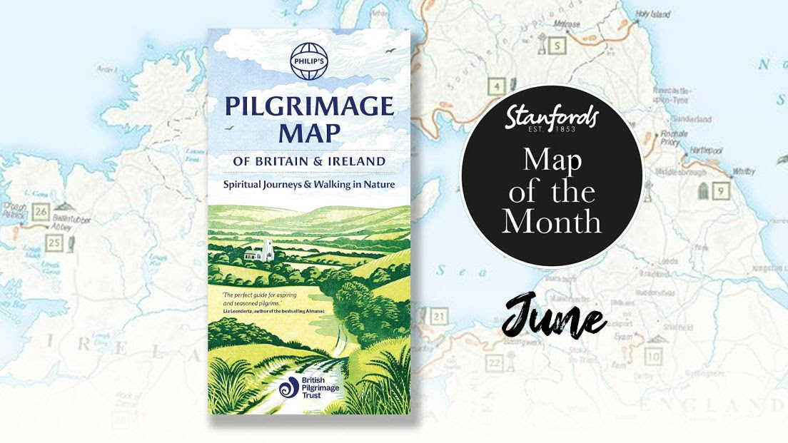
JUNE
Author: Philip’s Maps
Publisher: Octopus Publishing Group
Philip’s Pilgrimage Map of Britain and Ireland: Spiritual Journeys and Walking in Nature
In association with The British Pilgrimage Trust, Philip’s Pilgrimage map of Britain and Ireland depicts the best ancient and modern routes around the islands, providing the opportunity to reflect and absorb the beauty of the countryside and honour the ways and byways of the past.
Upcoming IMIA Events

Points of Interest:
Trail Mapping Initiatives
August 27, 2026
Virtual via Zoom | IMIA Members-only

Mapping Leaders Forum
May 11-13, 2027
Edinburgh, Scotland
Upcoming Industry Events


Esri User Conference
July 13-17, 2026 | San Diego, CA, USA
EuroCarto 2026
September 9-11, 2026 | Brno, Czechia
Membership Information

We want to share your news! Send us your milestones, anniversaries, company announcements, upcoming events, or other news and we can help spread the word for you.

Disclaimer: IMIA does not sell, rent, or lease our contact data or lists to third parties, and we will not provide your personal information to any third party individual, company, or government agency at any time unless compelled to do so by law. Any emails or other notifications received stating otherwise are spam.
IMIA Annual Sponsors