
Sunday October 22, 2017
9am-Noon in Ketchum 1B64
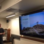
For years, OSM has been known as the defacto standard repository for trail mapping data, and especially for those in search of national coverage. Some of the major challenges in mapping trails result from the wide variety of land managers and stewards. Quite often trails visible in satellite imagery are not intended for public access however they get entered into OSM and used because these use attributes cannot be seen in air photos. In most recent years, concerted effort has been made by the data providers in the public data community to produce an aggregate authoritative trials database. Concurrently in this time map producers and app developers have continued to work in this environment to ensure consumers get accurate trails data, and relay the information about trail use regulations.

This session, co-sponsored by the International Map Industry Association and the OpenStreetMap community, invites attendees to join industry leaders in a forum and workshop to capture the status and collaborate toward a future of authoritative and accurate trails data. The International Map Industry Association is in the business of maps and location intelligence — a group of business and industry leaders who maintain a network of individuals with a vested interest in the future success of mapping and available data. In this group are entrepreneurs and companies who have long been a primary consumer of trails data used to create commercial products, and also the data stewards in government agencies tasked with producing an authoritative source. This session is inspired by previous IMIA events.


Presentation Details
Presentation time estimated – 90 Minutes
9am to 10:30am
Session Moderator – Diane Fritz, Geospatial Services Specialist, Auraria Library
Introduces session, speakers, and moderates panel
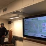
- Data Steward presentations: “what is the State of the Map”
- Greg Matthews, USGS trails
- James Mcandrew, NPS trails
- Rob Aiken, US Forest Service
- Late add! – Clifford Snow, OSM trails in Washington State
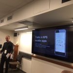
- Trail App Developer presentations: “what and how are you doing w/o auth data”
- Jake Coolidge, NPS Mobile App Dev
- Tom Robson, MTB Project and REI
- Nate Irwin, Trailhead Labs (joined by Jereme for panel)
- Derrick Nehrenberg, Traildock
- David Thomas, Adventure Safely
- Late add! Rob Chohan, Paper Map Labs
- All group discussion “how can collaboration benefit OSM, gov data, user”


Event Recap
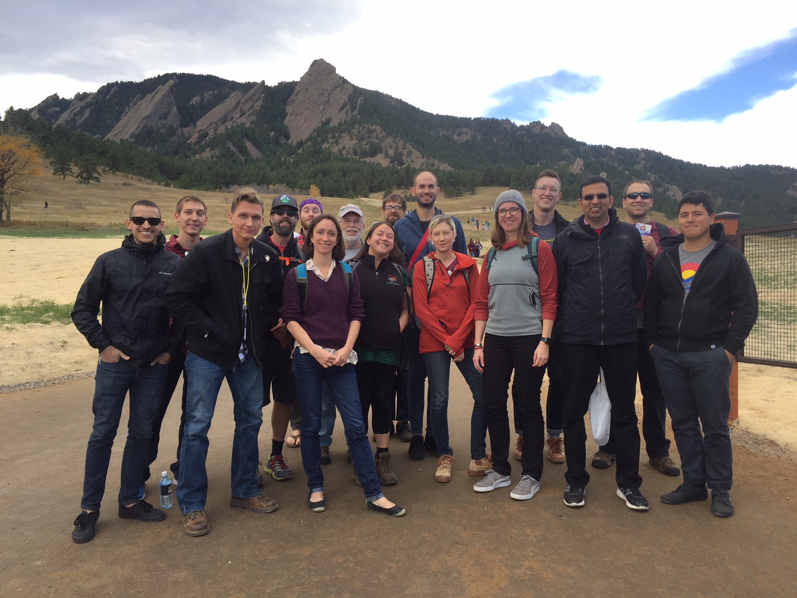
The speaker presentations commenced from 9am to 10:50 – with lots of great info shared (powerpoints were emailed to those in attendance after the event). We also had two impromptu speakers who volunteered to give talks after learning of the session at the event! During the short bio-break, moderator Diane Fritz used her skills to recap the speakers’ presentations into a handful of topics and wrote them up on the whiteboard, and attendee Aly Ollivierre from National Geographic Maps helped to reposition chairs to facilitate the entire group in a single discussion The group, seated in the circle seen in photos then voted on the topics to determine the order in which they would be covered. DIane then led the group through the topics in order they were selected, and Margaret Spyker took notes. To further maximize the value of the workshop, attendees all gave their email info to be shared collectively with the group, and session notes were cleaned up and shared in the follow up email along with photos and a shout pack (a quick reference guide encouraging participants to tweet or facebook or otherwise promote their participation). IMIA knows how to showcase how valuable intangibles can be.
Platinum Sponsors

Gold Sponsors
![]()
![]()
![]()
Silver Sponsors
Bronze Sponsors
