Like other businesses, National Geographic Maps has been trying to navigate the new world of COVID-19. When the home quarantines began nationwide in late March, the staff at National Geographic Maps began to think about offering an online resource that could be fun, reduce stress and help kids learn geography.
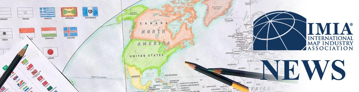
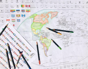
The cartographers at National Geographic went to work, adapting the World for Kids and United States for Kids maps to black and white outline versions that can be printed and assembled at home. Each map is a PDF, preformatted to print on eight sheets of 8 ½ x 11” paper, ready to be taped together to form a 36 x 24” project. The PDF also includes a full-color key to flag colors.
“Several of our employees and partners have children under the age of 10 and filling the hours of the day with educational and fun projects can be daunting,” said David Jay, Vice President of National Geographic Maps. “We wanted to develop a product that was free and downloadable for printing at home, but that could provide parents with something to keep their kids engaged for a good amount of time. And what a bonus that it is also a geographical awareness tool.”
After going live on the National Geographic website in mid-April, the maps have proven to be quite popular. The company also reached out to several of its partners to gauge interest in developing a commercial version that could have long-term potential. After getting positive feedback, the maps are now available as poster prints through MapSherpa and its retail partners Amazon (Canada, UK and US) as well as the MapTrove.com and MapTrove.ca websites.