HarperCollins publishers have a strong tradition of publishing cartographic products that stretch back over 100 years with Bartholomew Maps and Collins educational atlases.
Today the main cartographic output is as diverse as ever and cover these areas:
Collins print publications
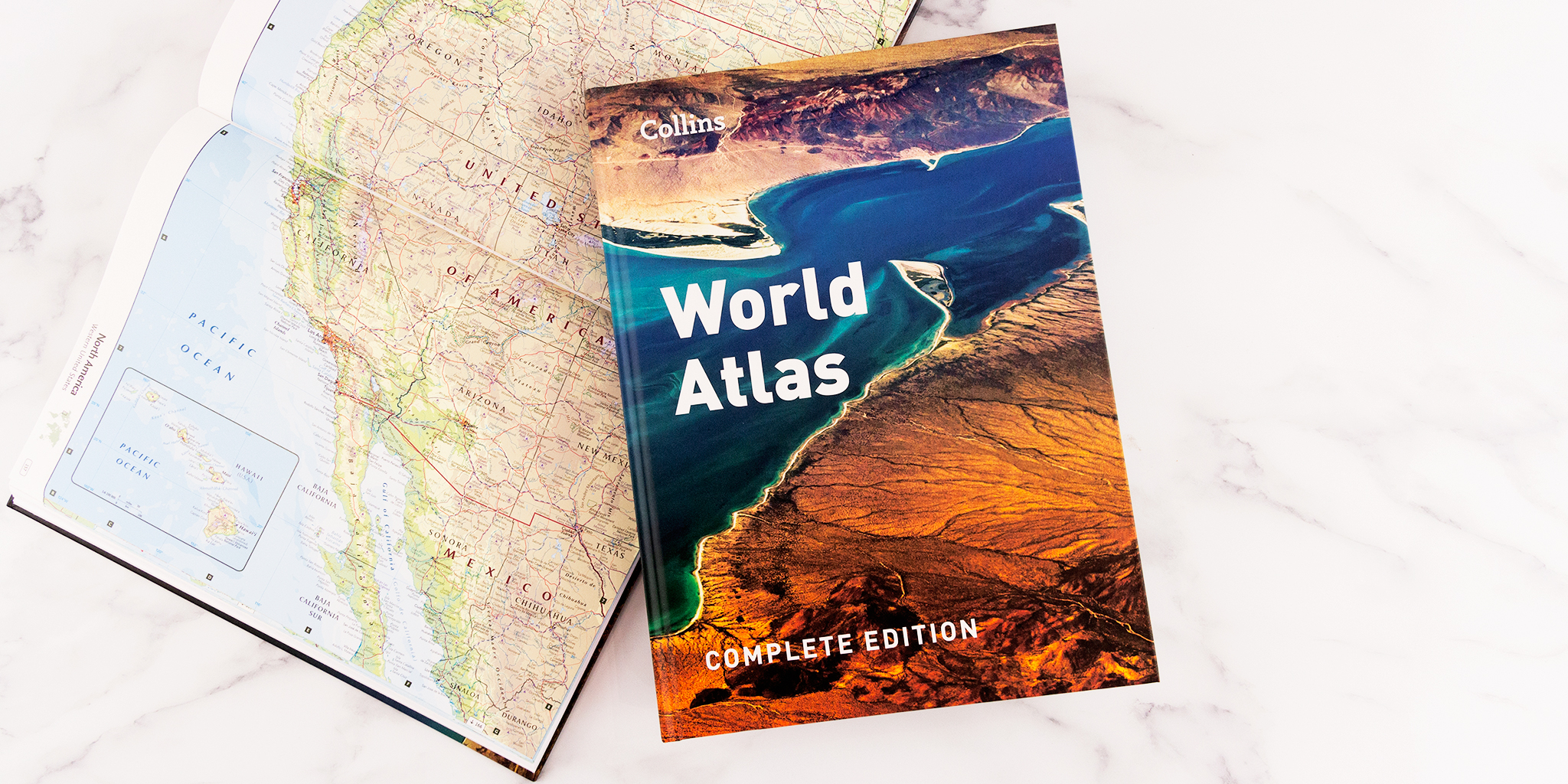 We currently have a large list of over 100 maps and atlases in print.
- Educational atlases – we continue to publish new editions of our core educational atlases alongside a large list of country-specific atlases.
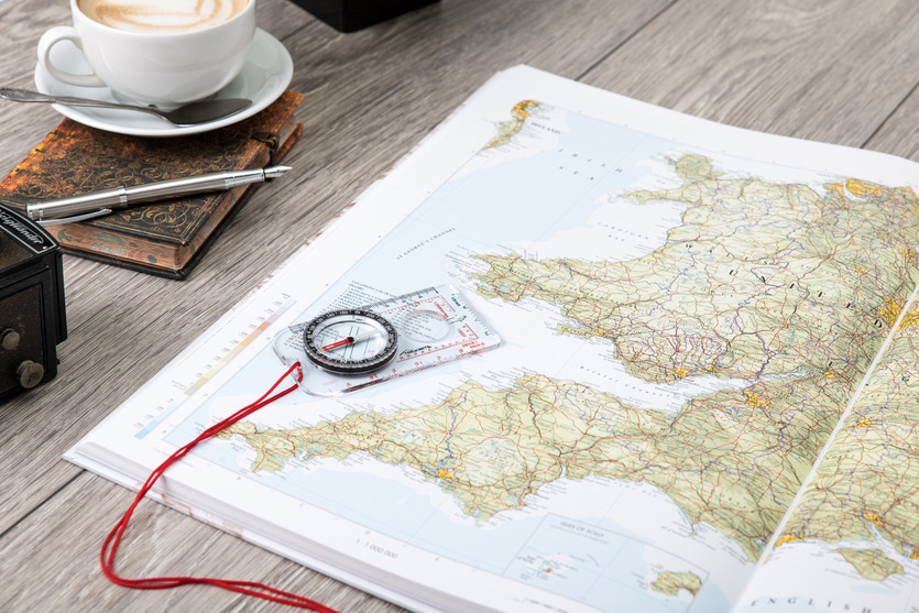
- Road Atlases – our Collins Britain Road Atlases are updated and published annually.
- Pocket Maps – while the mapping print market has decreased, we have found the appetite for smaller maps is still out there. End users still want a backup to phone or Sat-nav and these small maps provide that.
- Touring maps – we are excited to be launching a new range of touring maps later this year with the first titles being Route 66, Great Ocean Road and Garden Route.
A-Z Maps
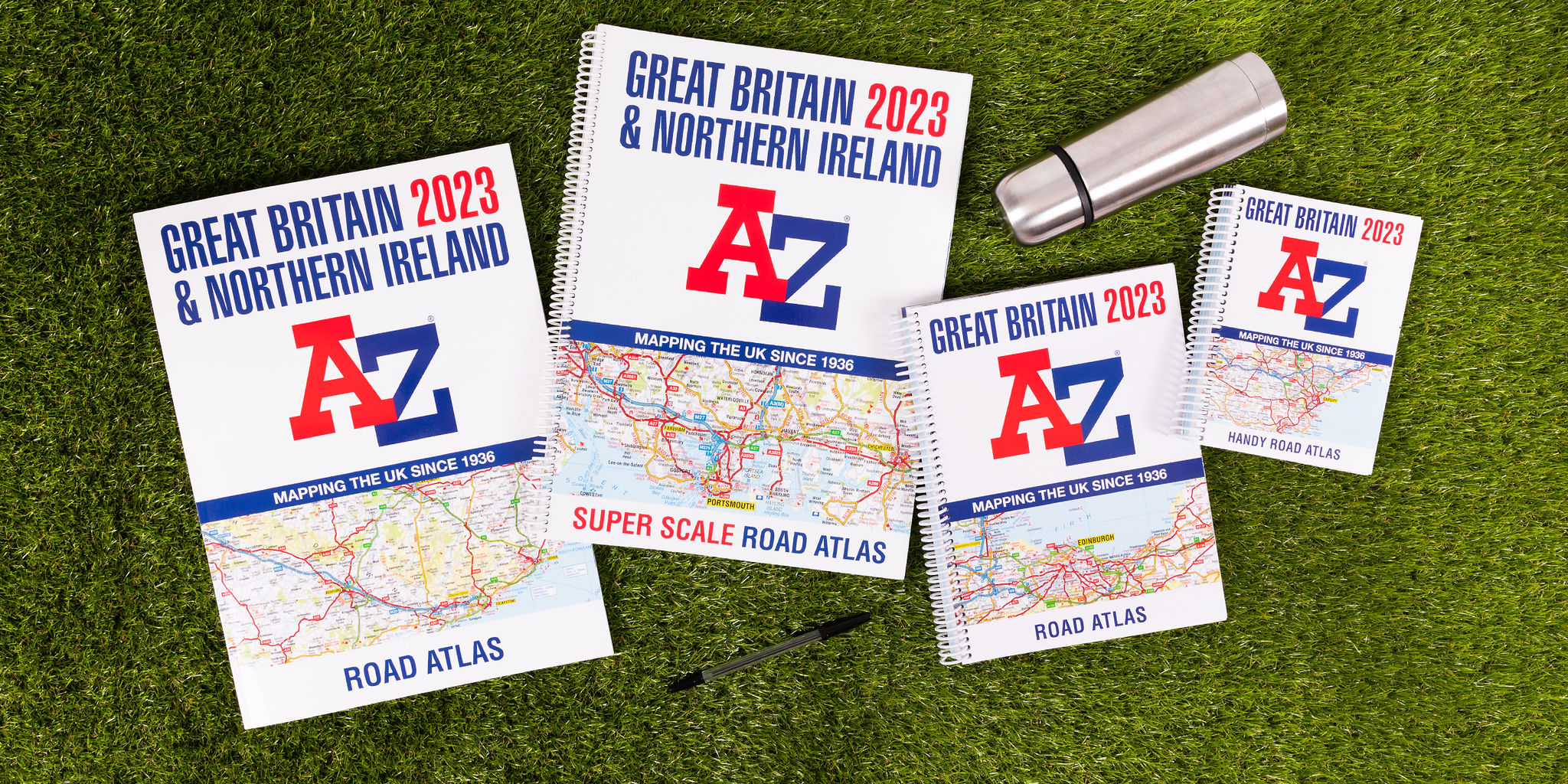 This list was acquired at the start of 2020 and we continue to maintain and update the large range of high-quality street maps of Britain.
- London street atlases – the leading publisher of street-level mapping of the capital and is the trusted source for locals, tourists, and taxi drivers.
- UK street atlases – while there has been a definite decline in sales of street atlases, we continue to publish atlases for the major cities and pocket maps for towns.
- Road atlases – our annual road atlases are one of the leading road atlas brands in the UK.
- Visitors’ maps – detailed A-Z mapping is combined with essential tourist information for popular areas.
Times Atlases
 Authoritative world atlases from The Times have been a trusted source for governments, academics, geographers and individuals.
- Comprehensive atlas – the 16th edition will be published later this year. This is the largest commercially available world atlas with over 200,000 place names.
- Atlas range – the full range starts at the mini atlas and currently consists of 6 atlases of varying price and size.
Collins Bartholomew digital data
In addition to our printed publications, our digital cartographic data is used by a wide variety of different organizations and companies.
- Vector and raster map data products of the World, Europe, the UK and international mobile cell phone coverage.
- World and UK place name gazetteers that provide a database of named locations.
- Newsroom is a document service providing country information about cultural and geopolitical geography.
We are excited to be taking part in the partner day at this year’s Mapping Leaders Forum, so come along to Denver on June 7th to find out more about us.