Transforming Services Through Geospatial Innovation
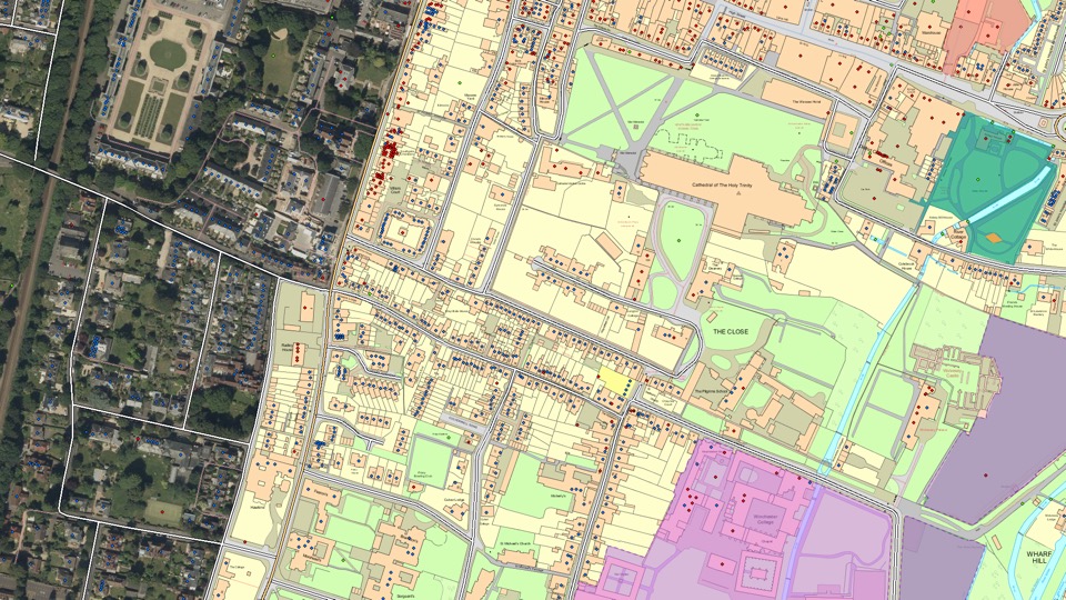
Ordnance Survey (OS) has been mapping Great Britain for over two hundred years. As a government agency, it provides the geospatial infrastructure for the country and needs to keep pace with commercial online mapping platforms, as customers demand ever-greater data currency.
By exploiting the capabilities of the ArcGIS System, OS is driving transformational change, re-imagining how it captures and shares changes to arguably the world’s most detailed and current national basemaps. It is resulting in a 67% reduction in the cost of capture, internal operating efficiencies of £1.5m per annum achieved to date, and improved supply chain productivity helping to support better customer service.