For 182 years, the Swiss Federal Office of Topography’s Swiss National Maps (swisstopo) have represented precision and quality, embracing the latest available technologies to offer customers useful and accurate maps. The latest offering from swisstopo is an app that provides personalized maps on paper without any specified sheet divisions, individually produced, with numerous options for customization.
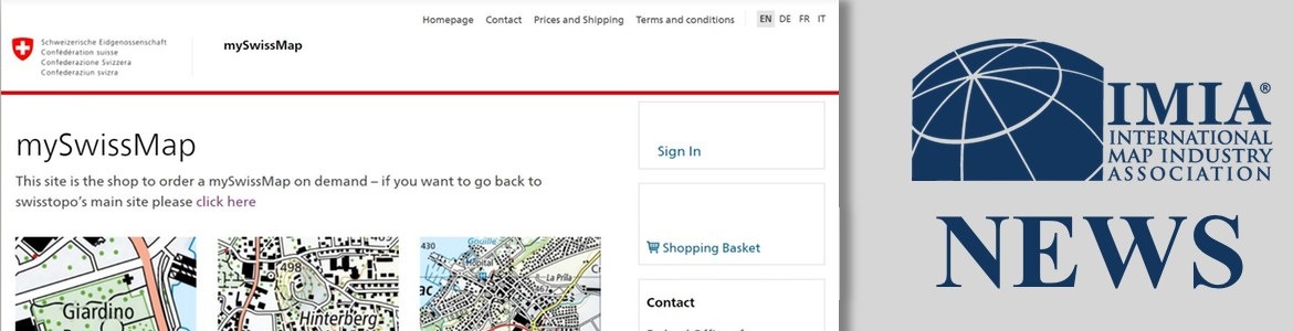
The new mySwissMap site allows users to order any map section to a scale of their choice from the comfort of home or on the road, and even allows for custom text and photos on the cover. By bringing digitization to the world of classic paper maps, swisstopo is responding to a growing trend towards individualization. The maps are printed on waterproof and tear-resistant paper and the map image corresponds to the familiar look of the National Maps.
The custom map tool technology behind MySwissMaps was developed by NextByte Technologies, in collaboration with MapSherpa Inc., both IMIA members. In four easy steps, users can select the map of their choice, center it on the location desired, choose from folded or flat options, add their title and order.
Swisstopo’s offerings include their well-known National Maps 1:25,000 and 1:50,000 as well as National Map 1:10,000. Their largest map, originally developed for online publication on web portals, has a level of detail popular with users, so the fact that it is being offered on paper for the first time is notable.